
Unity Township Neighbors: Block Sources
Public sources describe different parts of the block around a Unity Township address. The GIS map identifies parcel geometry and nearby features. Assessment records provide current tax-duplicate information for a specific parcel, while the Recorder index can show recorded parties, deeds, and plans. Township files can add a defined project or zoning trail. None of those records is a complete household directory. The coverage below makes that distinction visible before a search moves from one neighboring parcel to the next.
| Block source | What it shows around an address | Access and limit |
|---|---|---|
| GIS parcel map | Parcel boundaries, nearby features, map context, and an address or UPI route | Free mapping; not a household list. |
| Current tax duplicate | County owner, parcel, location, and assessment context | Semiannual refresh; mailing address can differ from situs. |
| Recorder index | Recorded parties, deeds, plans, lots, and legal relationship | Documents do not identify all people at a property. |
| Township map and files | Named developments, zoning context, and defined project records | No public association roster or code-result database was located. |
| Election records | Restricted election-information context | No open public by-block browsing should be expected. |
| Libraries and archives | Dated local, cemetery, church, school, or obituary context | Useful historically, not current-neighbor verification. |
Owners, document parties, mailing addresses, and people at a parcel can be different. Treat each as a source-specific fact rather than a shortcut to a claim about Unity Township neighbors.
Mapping Unity Township Neighbor Parcels
The county method is parcel-by-parcel. Locate the subject property, select it, then pan and zoom to each touching or immediately nearby parcel. Capture the identifier for each distinct parcel before running a separate assessment or Recorder query. This avoids treating a parcel on the same road, in the same development, or under the same postal label as an adjacent lot. It also recognizes that current map proximity can differ from an earlier plan after a consolidation, recorded plan, or road extension.
- Use the GIS map to capture the subject parcel's address string, Unity Township municipality, UPI, and parcel number.
- Inspect the immediately adjoining parcel geometries and retain each separate identifier.
- Run an assessment search for each distinct parcel, preserving its refresh-date limit and any difference between mailing and situs information.
- For a recorded transaction or development question, use Recorder party, municipality, subdivision, lot, UPI, or plan-book routes when the record supplies those keys.
- Compare the Township zoning and planning material for development context, without treating that context as membership or household evidence.
For a longer road rather than the immediate block, use the Unity Township streets resource, which follows the address-to-parcel-to-deed chain in greater detail.
Unity Township Neighbor GIS Controls
The county's 911 instructions document the usable GIS search sequence. Acknowledge the disclaimer, proceed to the map, open Search Parcels, select the search alias, choose Unity Township as the municipality, enter the matching search information, and select the returned parcel. The selected feature highlights on the map. Clicking it allows the 911 ADDRESS entry to be inspected. County documentation does not confirm a current buffer, radius, or multi-select tool, so the adjacent-parcel method remains a deliberate one-parcel process.
| County control | Documented choice or action |
|---|---|
| Search Parcels | Open the map's left-side parcel-search tool. |
| Search Alias | Address, Owner Name, Parcel Number, or UPI Code. |
| Municipality | Select Unity Township for the parcel search. |
| Search information | Enter the value that matches the selected alias. |
| Result selection | Choose the result that highlights the parcel. |
| 911 ADDRESS | Click the parcel and inspect the popup field. |
The Westmoreland public GIS viewer is represented in this source image.
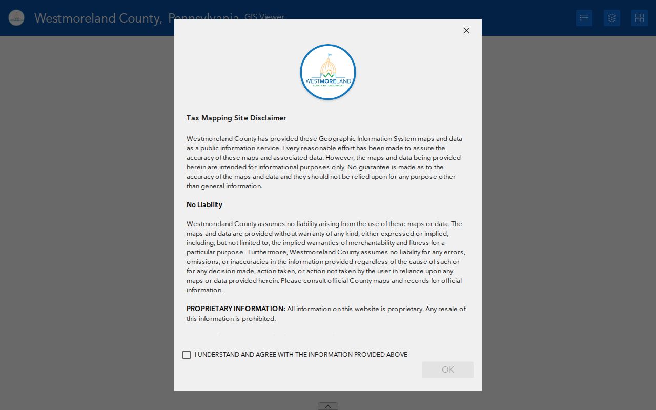
Use the map to establish geometry first. An assessment or deed query is still needed for the separately maintained record tied to each Unity Township parcel.
Unity Township Neighbor Maps: Free and Paid
Map access and record-card access are not the same in Westmoreland County. The base GIS and aerial layers are free, which makes them useful for locating adjacent parcel lines. Linked ownership and property cards through that GIS path are a subscription service. Private compiled-data categories are a different kind of source again. They may combine older records and can contain stale or merged entries, so they do not replace the county's map, assessment, or recorded-document channels.
| Category | What it contributes | Boundary |
|---|---|---|
| Free county mapping | Parcel geometry, aerial context, and an address or UPI route | It does not provide every linked card detail. |
| GIS linked cards | Property and ownership-card context connected through the map | Subscription service under county terms. |
| Recorder and assessment records | Official source-specific document or tax-duplicate facts | Each has date, access, and interpretation limits. |
| Private compiled-data category | Possible cross-source leads | May be stale or merged; it is not an official block roster. |
The county's GIS ownership-card access terms are the source for the captured subscription screen.
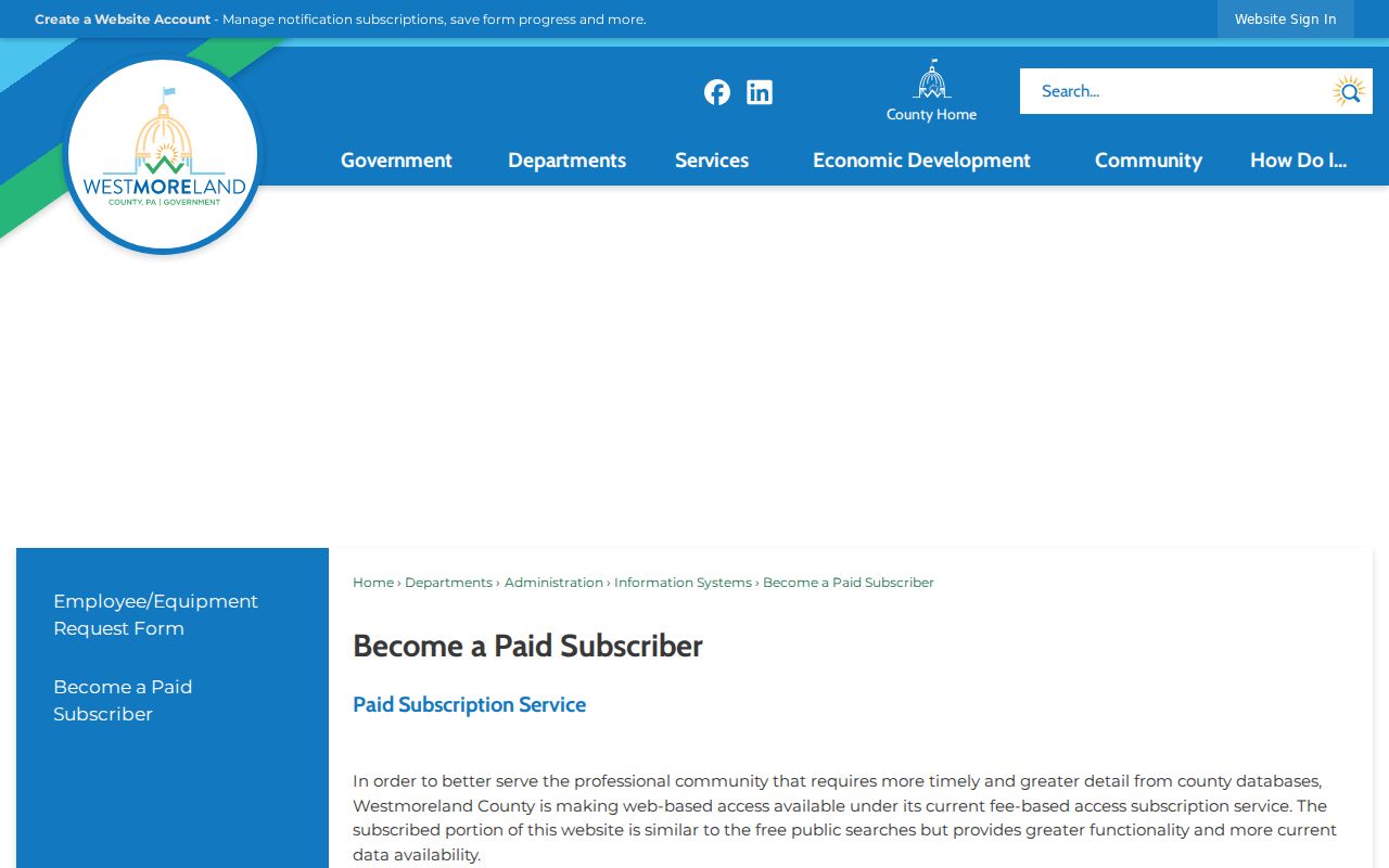
This access distinction helps keep a Unity Township neighbor search honest about what the free map reveals and what it does not.
Note: A paid property card is a different access channel, not proof that a named owner is currently at the parcel.
Unity Township Neighborhood Names Are Geography
Unity Township's official zoning and neighborhood map is rich in named places, not a compact urban street grid. It labels Crabtree, Greenwald, Lloydsville, Donahue, East High Acres, Mt. Laurel Estates, Wimmerton, Unity Square, Clearview, Edgewater Terrace, Lawson Heights, Timber Crest, Charter Oak, Westmoreland Woodlands, Plantation Oaks, Vista Morada, Sleepy Hollow, Mountain View Heights, Youngstown, Acropolis Heights, Woodside Estates, Hunkietown, Country Estates, Jamel Acres, Deer Run, Ridge, Marguerite, Humphreys, Baggaley, Mutual, Hillside Estates, Pleasant Unity, Hostetter, Whitney, Lycippus, High Meadows, and Luxor.
Those labels can explain why a Unity Township neighbor search includes a development name or a postal place name. They do not prove association membership, acquaintance, or a shared household. When parcel boundaries or district relationships need more context, the zoning map and County Tax Assessment Maps are available for public examination at the Zoning and Planning Office.
Note: A geographic map label is not association membership and does not give permission to contact private members.
Unity Township Neighbor Directories Not Found
No official Unity Township association umbrella, association contact directory, membership roster, civic council directory, block-watch list, or congregation roster was located in the authoritative sources reviewed. The Township's named-development map remains useful as a geographic reference, but it is not a member directory. The available public listings below are bounded alternatives and should not be converted into a present list of neighbors.
| Public listing or collection | What was located | What it does not provide |
|---|---|---|
| Unity Township zoning and neighborhood map | Development and settlement names | Association officers, members, or household contacts |
| Unity Township staff directory | Public office and departmental contacts | Private community membership information |
| Greater Latrobe School District staff directory | Institutional staff-contact resource with name and department controls | A community or block roster |
| Archives, cemetery, church, and yearbook collections | Dated historical context | Present neighbor identities or contact permission |
The Greater Latrobe School District staff directory is shown as an example of a public institutional listing, not a Unity Township neighborhood directory.
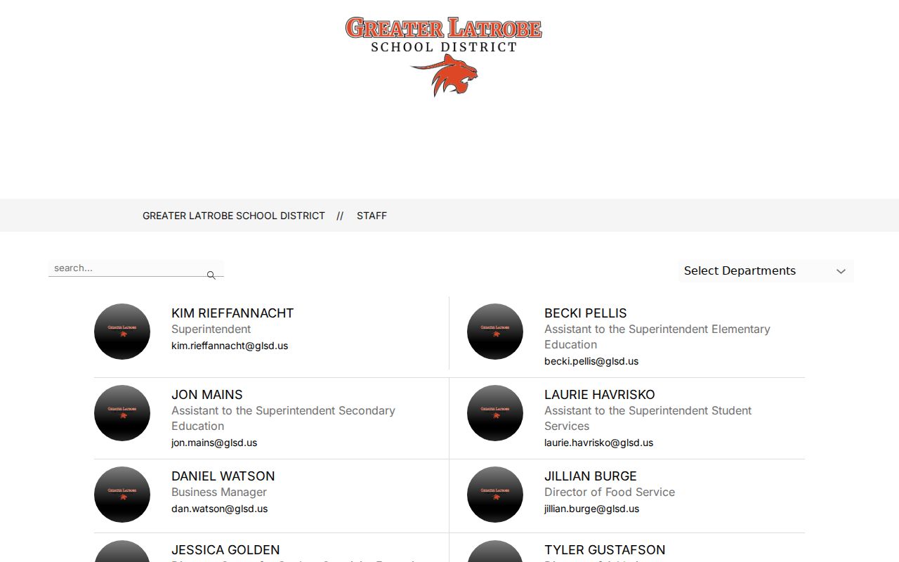
A public organization contact, where one exists, identifies the organization. It does not authorize sharing a private membership list.
Unity Township Project Files Near a Parcel
Township files can add a local layer when a neighbor question concerns a defined project or parcel history. The Building, Planning, Zoning, and Code offices maintain forms and application routes for permits, inspections, land development, subdivisions, grading, zoning, and enforcement matters. The public pages do not provide a searchable permit or code-case result database. A focused request should name the property address, approximate period, and document type, then go to the relevant office or the Township Open Records Officer.
The Unity Township RTKL notice identifies Sharon Sweeney as Open Records Officer and provides telephone, fax, email, mail, and in-person request channels. A defined address request can seek a permit, inspection, plan, zoning verification, or final enforcement disposition, subject to exemptions and redaction.
The Unity Township Code Enforcement source illustrates the local office route.
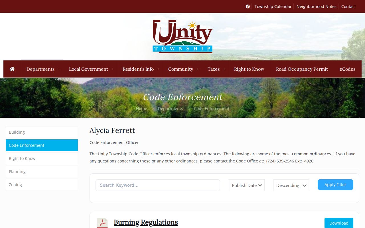
A project application, permit, or complaint record can document official activity. It does not establish who lives at an adjacent parcel.
Note: State the parcel address and record type so the Township can identify a reasonably specific file for review.
Unity Township Neighbors and Four Address Labels
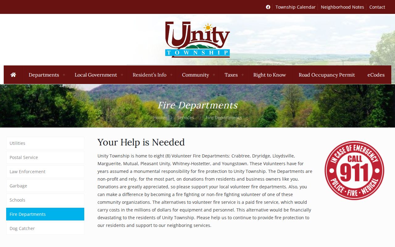
One Unity Township property can carry 911, civic, postal or mailing, and tax-billing address strings. Postal names can also cross Township lines. The Township fire-service page lists Crabtree, Dryridge, Lloydsville, Marguerite, Mutual, Pleasant Unity, Whitney-Hostetter, Youngstown, and Westmoreland County Airport fire departments under several ZIP and postal-city labels. A Greensburg or Latrobe mailing label can therefore occur for an address outside those municipalities. Use Unity Township as the municipality in county records, then use parcel, UPI, and address logic rather than a postal label alone.
The Unity Township fire-department geography is the source for this captured local context.
That overlap is why a neighboring parcel should be confirmed by the county map and municipality field before its records are compared.
Unity Township Neighbors and Voter Records
Pennsylvania's public registration-status route is for a person to check their own status. It is not a block browser. The fuller voter-list request form distinguishes public-information, street-list, walking-list, and full-export products, and those products have use restrictions. The official form describes a street list as the closest by-street category, yet it remains a controlled request rather than a public Unity Township neighbor directory.
Protected addresses, signatures, SURE numbers, and other sensitive fields are not public. Participation history records whether a person participated, not how that person voted. A dated voter file can also change with address updates, cancellations, death data, confirmation notices, and list maintenance. For permitted election-related activity, confirm current handling with Westmoreland Elections rather than promising open block access.
Unity Township Neighbor Privacy Limits
Public mapping and property records do not open every part of a person's life. Unlisted household members, private occupancy details, utility and delivery data, DMV personal-address data, protected voter and Address Confidentiality Program addresses, sensitive vital information, and nonpublic municipal complaint material remain outside a neighbor lookup. Court files can also be sealed, expunged, juvenile, or otherwise limited. A missing detail may reflect a real legal restriction rather than a problem that another search should solve.
For a correction or privacy concern, begin with the source custodian. Assessment handles billing or mailing changes, the Township and County 911 process civic-address issues, and other record types have their own responsible office.