
Unity Township Previous Resident Sources
Past-resident research has several layers. A recorded deed identifies parties to a property transaction. Assessment data identifies the county's current tax-duplicate association. A census can identify a household, while a nearby city directory can add a dated name or address clue. Maps, probate, obituaries, and Township files can fill an older gap. The entries below have different purposes, so the source label should stay with every fact.
| Source | Years it covers | Where held | What it shows |
|---|---|---|---|
| Recorder deed index | 1850-present | Recorder public search and appointment support | Recorded owner and document chain |
| State archival deed and index guide | Deeds 1773-1897; grantor/grantee indexes 1773-1900 | State Archives guide and county-record paths | Earlier conveyance and name-index route |
| Nearby directories | GHAL microfilm 1909-1959; print from 1913 and 1927-1992; nearby print 2000-present | GHAL Pennsylvania Room | Regional person and address clues |
| Federal census | 1790-1950 released | NARA and GHAL microfilm through 1930 | Household composition and township association |
| Historic maps | Varies by map series | County GIS Map Maintenance | Early land, road, and geographic context |
Begin with the date range. A postwar house may yield a deed and tax trail first. A nineteenth-century rural property may require the county archive guide, church or cemetery material, the 1857 map, and patent-map research before a directory becomes useful. The released federal census has no 1890 schedule, so that gap needs other dated evidence. For the question of who lived here before, begin with the source that matches the era rather than forcing every address into a modern search.
Unity Township Address Continuity
Westmoreland County cautions that one property can carry distinct 911, civic, postal or mailing, and tax-billing address strings. A mailing address is therefore a routing clue, not proof of residence at the property. An old document may use a Latrobe or Greensburg postal label even when the parcel is in Unity Township. Do not treat that label as a municipal-boundary change or a Township-wide street renumbering.
The practical bridge is the parcel number, UPI, tax-map number, subdivision or lot, and legal description. The Westmoreland Real Property Search accepts parcel number, owner name, and property location. The county says its data is a current tax duplicate refreshed in late January and late June. It can start a past-resident search, but it cannot confirm a present household.
Address check. Preserve the document's exact address string, then connect it to the parcel and legal description before treating two differently written addresses as the same property.
Unity Township Deed Chain Backward
The Westmoreland Recorder Public Access index reports deed coverage from 1850 to the present. It is a party and document index, not a general street-address search. Start with a current parcel and use its owner, municipality, UPI, tax-map number, subdivision, lot, or legal-description clues. Then open the acquisition deed and work from the recorded parties toward the earlier transfer. A free account is not required to begin searching, although an account adds saved searches, history, and carts.
The Recorder public-access deed index is the source for this Unity Township previous-residents record trail.
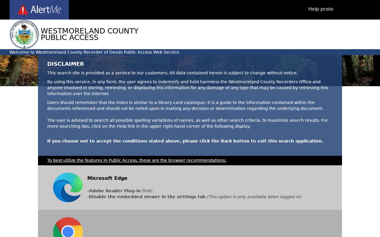
Its public search is most useful after the address has been translated into a property identifier or a documented party name.
- Use the property search or GIS route to capture the parcel, UPI, municipality, current owner, and legal-description clues.
- Search the current owner in the Recorder and locate the deed by which that party acquired the property.
- Record the deed's grantor, recording reference, legal description, subdivision or lot information when present, and document type.
- Search that prior seller as a grantee to locate the earlier acquisition, then repeat the sequence one conveyance at a time.
- When the web route reaches an older reference, move to Book/Page, Archives Search, the research center, or the State Archives guide instead of assuming the chain ends.
- Grantor and grantee
- The grantor transfers an interest in the document; the grantee receives it. Each party can become the next name in a backward chain.
- Chain of title
- The sequence of recorded property transfers. It tracks documentary ownership, not every person who lived at the address.
- Legal description
- The property description in a document, often using lot, subdivision, tract, or other land terms. It is more stable than an old mailing label.
Unity Township Deeds Before Book/Page
The online deed index's 1850-present coverage is not a claim that every earlier conveyance begins there or that every old image is equally available online. The Pennsylvania Archives Westmoreland guide lists deeds from 1773-1897 and alphabetized grantor and grantee indexes from 1773-1900. That archival route is the correct extension when a Unity Township previous-residents trail reaches beyond the useful web index.
| Before November 13, 2000 | Use the Recorder's Book/Page route for older recording references. |
|---|---|
| Old books and plans | Use Archives Search or ask Recorder staff for help with historic books and plan books. |
| Tax-map field absent | Tax-map numbers were not required until 2009, so an older document may not return through that field. |
| Before 1773 | Research may move to Bedford, Cumberland, or Virginia-related sources because Westmoreland was created in 1773. |
The Recorder's historical work also reflects a change in access. The office reports that very little was computerized in January 2000 and that documents are now scanned and processed for online access. A hard-to-find older deed is not evidence that the property has no history. It may require a book reference, appointment, or archival finding aid.
Note: A missing modern tax-map number in an older recorded document is expected, not a reason to discard a matching legal description.
Unity Township Past Household Trails
Owners are only one layer of a property history. Nearby Greensburg and Latrobe directory books can supply a name, occupation, or address clue, but neither is a continuous Unity Township household roll. The collections, year runs, and limits are detailed in the Unity Township city directory collections. Pair a regional entry with the actual municipality, census township, parcel, church, cemetery, or estate record before attaching it to the house.
For a house whose people trail ends in a death, Adams Memorial Library's Dead-a-Base can provide a Latrobe Bulletin notice date and death date. The index is limited to the name as printed and those dates, and it is generally focused on deaths within a few miles of Latrobe. A notice, cemetery record, or Register of Wills file can then provide an endpoint to compare with the next conveyance.
Do not turn an owner, taxpayer, adult directory entry, obituary subject, heir, or permit applicant into a full household list. Each source describes a different role at a different time.
Census Pairs for Unity Township Residents
Federal census schedules provide the household layer that a deed cannot. The National Archives census research service states that public schedules currently reach 1950 under the 72-year rule. GHAL holds Westmoreland microfilm for 1790, 1800, 1810, 1820, 1830, 1840, 1850, 1860, 1870, 1900, 1910, 1920, and 1930. The lost 1890 schedule is a real gap, so nearby directories, newspapers, church records, deeds, and maps must carry more of the timeline.
The National Archives census research route supports a Unity Township previous-residents household comparison.
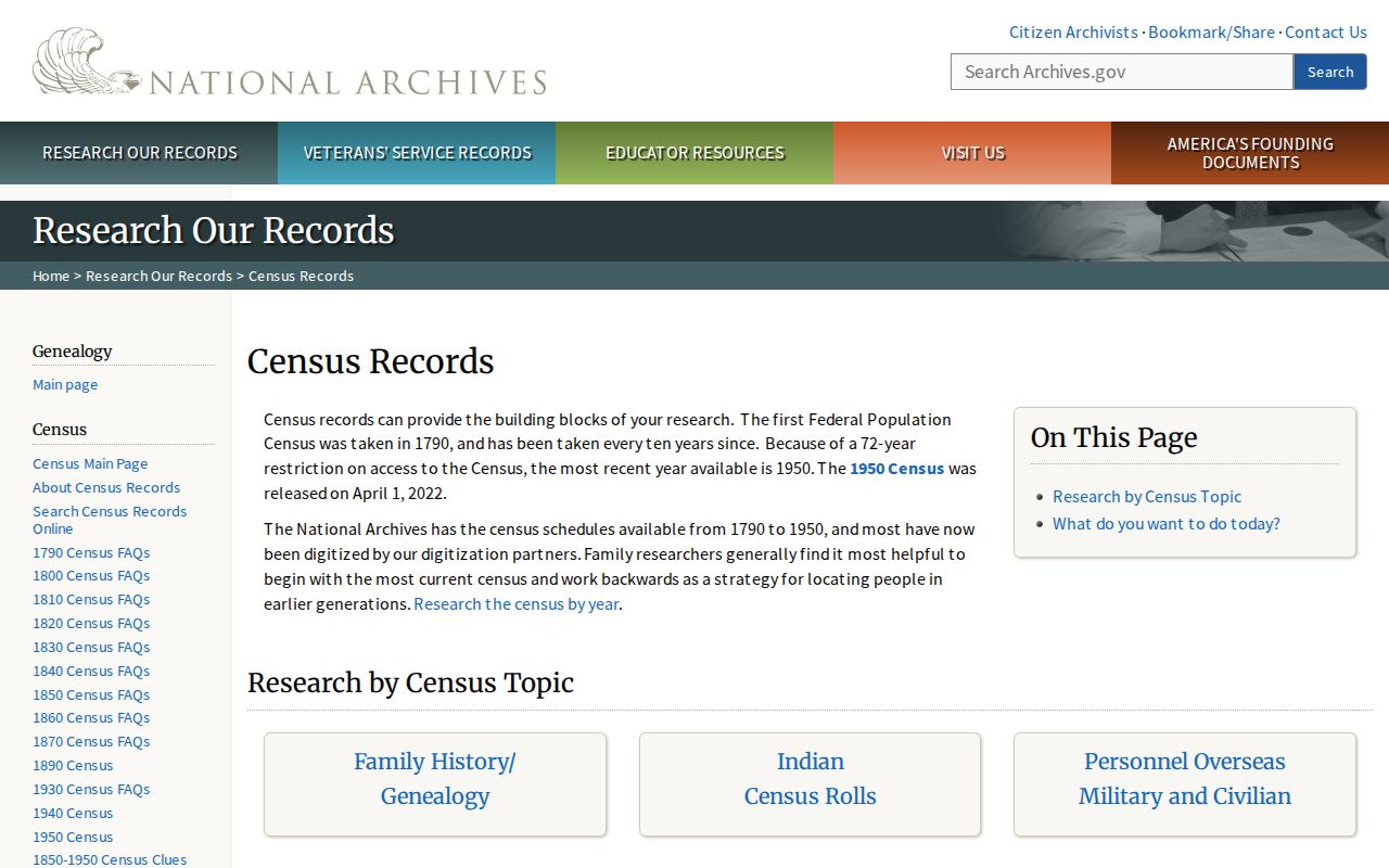
Use the census with the same dated parcel or directory clue, not as a substitute for a deed or a modern property record.
- Choose the closest released census to the directory, deed, obituary, or other dated clue.
- Compare surname spelling, age, birthplace, household members, occupation, and property status.
- Confirm the township or locality and note any postal-city wording separately from the parcel location.
- Check the next available census or directory rather than bridging the missing 1890 schedule with an unsupported assumption.
Unity Township Maps Before Residents
No official Unity-specific house-history guide was located. County GIS Map Maintenance is the strongest local substitute. Its public research area offers warrant maps dating to the 1700s, frontier maps for 1783-1825, township land-patent index maps, farm maps, cemetery maps, highway plans, railroad valuation maps, county maps, and tax-boundary maps. Patent maps identify first owners by township, which is a land-history clue rather than proof of later residence.
The County GIS Map Maintenance resource also distinguishes older geographic context from a current address. For a pre-directory rural location, compare the 1857 Westmoreland County landowner map, the deed's legal description, church or cemetery evidence, and the appropriate county record. The January 1887 Latrobe Sanborn map has six sheets, but it is a Latrobe borough source and should not be presented as rural Unity Township coverage.
Unity Township House-History Limits
Township permit, planning, zoning, inspection, occupancy, demolition, subdivision, and code records can date activity at a defined address. Unity Township publishes forms rather than a searchable online permit or code-results database. A focused request through the appropriate office or the Township's Right-to-Know channel should name the address, approximate years, and requested document type. A permit or application can document work or official review, but it does not prove every prior resident or a change in ownership.
For older structures, keep the 1991 start of Township zoning separate from the much older property trail. Earlier Unity Township research belongs in county land, tax, church, census, cemetery, map, and nearby-directory material. A later zoning or permit file may help date a regulatory or construction event, but it cannot be read backward as proof that the same municipal record stream existed in the nineteenth century.
Lawful house history. Use Unity Township previous-residents records for family history, estate matters, property history, or personal curiosity. Respect redactions and address protections, and never use a record to stalk, harass, threaten, intimidate, or track a living person.
When evidence conflicts, retain both source descriptions and their dates. A deed can support a recorded transfer, a census can support a household at its enumeration, and a property card can support a dated tax record. This is how a careful search for who lived here before avoids turning a single clue into a conclusion.