
Finding a Unity Township Street by Address
A useful Unity Township street directory starts with one physical property and follows identifiers, not assumptions about a household. County GIS can connect an address to a highlighted parcel and a 911 address. The assessment search then supplies the county's current tax-duplicate context. From there, a party name, UPI, tax-map number, lot, subdivision, or legal description can carry the search to the Recorder. That sequence makes it possible to compare records while keeping their limits clear. It does not turn an address into a list of everyone who may be there.
- Open the county GIS route, select Unity Township as the municipality, and search by the address, owner name, parcel number, or UPI code.
- Select the matching parcel and note its map context, identifier, and 911-address entry before comparing any other address string.
- Run the parcel, owner, or location in the Real Property Search and record the date limits of its current tax duplicate.
- Use the owner or legal-description clues in the Recorder index, then read the acquisition deed and its grantor before moving backward.
- Do not use the individual voter-status tool as a street browser. For a legally permitted election purpose, ask Westmoreland Elections about the controlled street-list request channel.
- For a dated household clue, use nearby directory and census collections as corroboration rather than treating a modern parcel record as a resident roster.
When the goal changes from an address trail to confirming one named person, the separate Unity Township resident lookup is the better route. It keeps name-based sources distinct from the parcel method used here.
Unity Township Street Directory Records at a Glance
Several offices hold parts of a Unity Township address story. The county map establishes parcel geography, while the assessment and Recorder systems use distinct keys and update cycles. Township files can document a defined project, permit, plan, inspection, zoning action, or enforcement outcome when a focused request identifies the address and date range. Historical collections can add a past address or household clue, but their nearby postal-city coverage is intermittent. This street directory coverage table separates those record sets before they are combined.
| Address record | Custodian | What it can establish | Access boundary |
|---|---|---|---|
| 911 and GIS parcel search | Westmoreland GIS and 911 | Parcel location, UPI, municipality, 911 address, and nearby map features | Base mapping is free; address strings can differ. |
| Current tax duplicate | Westmoreland Real Property Search | County owner, parcel, location, and assessment context | Search by parcel, owner, or location; refreshes twice yearly. |
| Linked property or ownership card | County GIS service | Deeper linked property and ownership context | Subscription access is required through the GIS path. |
| Deed and plan index | Westmoreland Recorder of Deeds | Parties, document types, dates, lots, plans, and legal-description evidence | No ordinary street-address search is documented. |
| Project and code files | Unity Township offices | Defined permit, planning, zoning, inspection, or code record | Forms are online; request a specific file through the office or RTKL process. |
| Directories and census | Libraries and archives | Dated householder, address, or household clues | Use as historical corroboration, not live occupancy proof. |
The same street name is not a reliable join by itself. Parcel identifiers and legal descriptions are stronger bridges when postal labels, older address strings, or development names differ.
Search Unity Township Parcels in County GIS
The county's documented 911 workflow is the precise start for street-by-street work. After accepting the initial disclaimer and proceeding to the site, use Search Parcels. Choose an alias, select Unity Township in Municipality, enter the matching information, and select a result. Clicking the highlighted parcel gives access to the 911 ADDRESS popup. The free map supplies parcel lines and aerial context, while the paid linked-card route is separate.
| GIS control | How it is used |
|---|---|
| Search Parcels | Open the left-side parcel-search control. |
| Search Alias | Select Address, Owner Name, Parcel Number, or UPI Code. |
| Municipality | Select Unity Township with the search input. |
| Search information | Enter the value that matches the alias selected. |
| Result selection | Choose a result to highlight its parcel on the map. |
| 911 ADDRESS popup | Click the parcel and scroll to this field for the map-address entry. |
The Westmoreland 911-address guidance is shown in the captured county workflow.
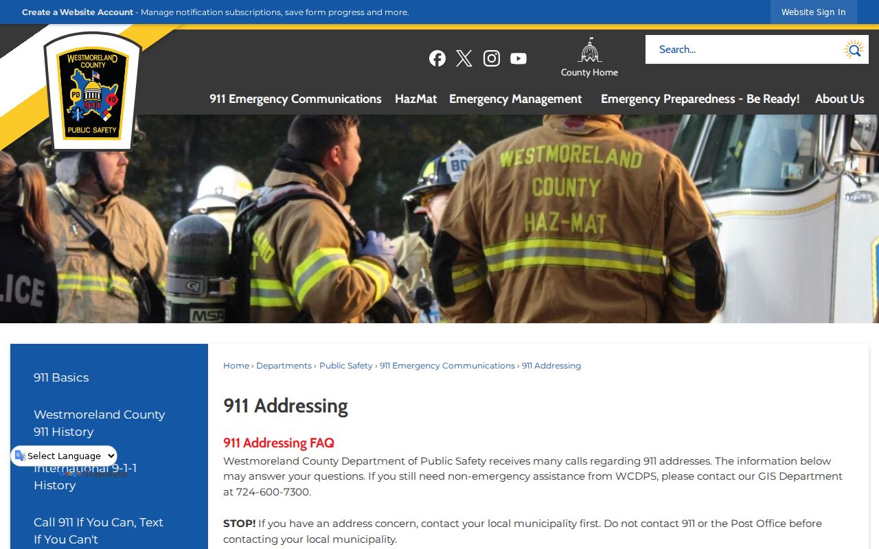
Use the result only to orient the Unity Township street search. It must still be matched to the assessment and recorded-document systems with the parcel's own identifiers.
Four Unity Township Address Strings
One Unity Township property can have a 911 address, civic address, postal or mailing address, and tax-billing address. This is a local record-keeping quirk, not an error that a quick street search can settle. County 911 says the municipality begins a new or changed address process, then County 911 handles the request. A legal description, UPI, map number, lot, or subdivision can bridge the strings when the wording does not match.
- Parcel
- A defined piece of land represented in the county mapping and assessment systems.
- Situs address
- The physical property location used to identify the parcel, distinct from a bill-delivery address.
- Plat or plan
- A recorded map that can show lots, roads, or a subdivision layout.
- Criss-cross directory
- A reverse directory arranged by address, useful as a dated historical clue where a relevant volume exists.
A tax mailing address is a routing clue, not proof that an owner lives at the Unity Township situs. The same caution applies to a homestead filing, a postal place label, and an old street string.
Note: Carry the UPI or legal description forward whenever two Unity Township records use different address wording.
Unity Township Property Search Fields
The Westmoreland Real Property Search is the county's free assessment entry point for a Unity Township street directory. It accepts a parcel number, part or all of an owner's last name, or a property-location string. The county asks users not to add a comma or period to a name search. Its location examples also say to omit directional prefixes, suffixes, and street designators unless the directional word belongs to the actual street name.
| Field label | Type | Use and format |
|---|---|---|
| Search By Parcel Number | Text | Enter the parcel identifier as one official search route. |
| Search By Name | Text | Enter all or part of a last name, without a comma or period. |
| Search by Location | Text | Use a street fragment; omit cardinal words and street type when county guidance says to do so. |
| Search | Button | Runs the assessor query after criteria are entered. |
| Reset or clear | Control | Clears criteria when available in the service interface. |
The county labels the result set a current tax duplicate and refreshes it in late January and late June. Treat the return as dated assessment evidence rather than live confirmation.
The official Real Property Search is pictured with its parcel, name, and location routes.
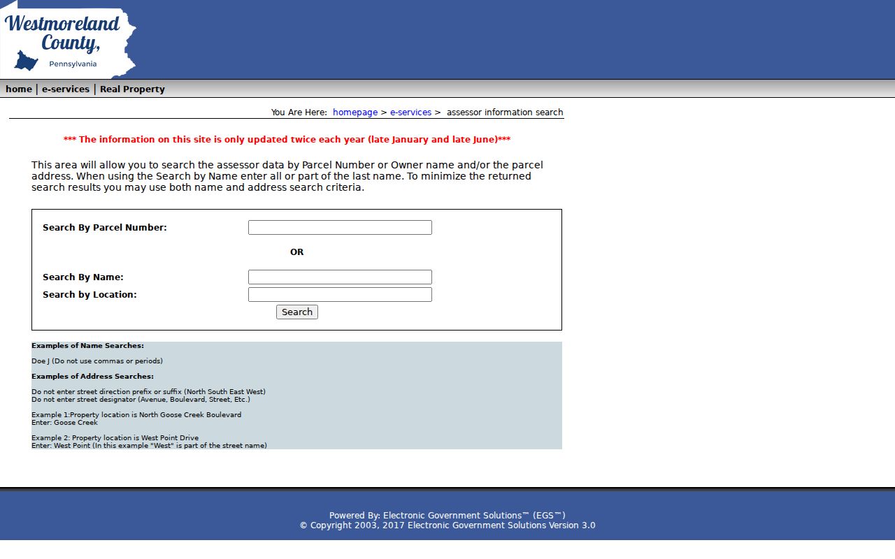
Combining a location fragment with part of a last name can narrow a common Unity Township street without changing the county's address rules.
Deed Chains Along a Unity Township Street
The Westmoreland Recorder index is the deeper document layer for a Unity Township street directory, but it is not an address-search form. Translate the property first. Use the assessment or GIS result to collect the owner, UPI, tax-map number, municipality, subdivision, lot, and legal-description clues. Search the acquisition party in the Recorder, open the deed, note the grantor, then search that party to locate the earlier transfer. Each link identifies a recorded transaction, not a household roster.
- Start with the parcel's current owner and the legal or subdivision information available from county sources.
- Use the Recorder name route, then inspect the selected document's party and document details.
- Follow the grantor from the acquisition deed backward and retain each recording reference.
- Use Advanced or Legal keys, such as municipality, lot, subdivision, UPI, or tax-map number, only when that information is recorded.
- For a document before November 13, 2000, use Book and Page. Older books and plans call for Archives Search or Recorder staff assistance.
Deeds are reported online from 1850 forward, while the state archival guide supplies earlier Westmoreland deed and grantor-grantee index routes. The county says tax-map numbers were not required until 2009, so an older document may not respond to a modern map-number search. The Recorder lists Copy and Research Center access by appointment on Tuesdays and Thursdays. A 2025 closure notice directed researchers to call 724-830-3518 before traveling, and the county advisement gives statutory-copy examples of $0.50 per uncertified page and $1.50 per certified page.
Note: A missing tax-map number before 2009 does not disprove a Unity Township deed or recorded plan.
Unity Township Street Work Files
Unity Township adds a municipal paper trail after a parcel is identified. The Building Department's online material is a form library, not a public permit-result index. Planning, zoning, building, and code files may connect an address with an application, plan, inspection, or official action. Ask for a defined document type, property address, and approximate period through the relevant office or the Township's Right-to-Know process. That makes the request specific enough for the custodian to locate and review.
The Township RTKL notice identifies Sharon Sweeney as Open Records Officer at 154 Beatty County Road, Latrobe, with telephone, fax, email, mail, and in-person channels. The notice directs appeals to the Office of Open Records within 15 business days. Exempt material can be redacted, so a request for every record about a person is less useful than a precise address-file request.
The Unity Township Building Department form collection is the source of this captured view.
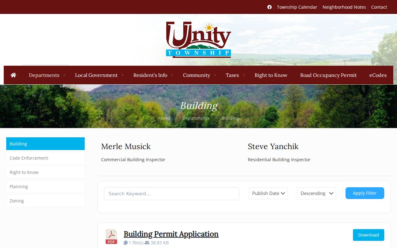
Forms can identify the kind of record to request, but they do not supply a public street, owner, parcel, or permit-number result search.
Unity Township Street Names on the Zoning Map
The Township's zoning material offers a place-name layer that can help distinguish a road, development, and parcel context. Official map labels include Crabtree, Greenwald, Lloydsville, Donahue, East High Acres, Mt. Laurel Estates, Wimmerton, Unity Square, Clearview, Edgewater Terrace, Lawson Heights, Timber Crest, Charter Oak, Westmoreland Woodlands, Plantation Oaks, Vista Morada, Sleepy Hollow, Mountain View Heights, Youngstown, Acropolis Heights, Woodside Estates, Hunkietown, Country Estates, Jamel Acres, Deer Run, Ridge, Marguerite, Humphreys, Baggaley, Mutual, Hillside Estates, Pleasant Unity, Hostetter, Whitney, Lycippus, High Meadows, and Luxor.
Those Unity Township names provide geographic context only. They do not establish association membership, a contact list, or who lives on a street. The township code says the zoning map and County Tax Assessment Maps are available at the Zoning and Planning Office for public examination when a boundary question needs an office-view path.
The Unity Township Zoning Department material is shown in this source image.
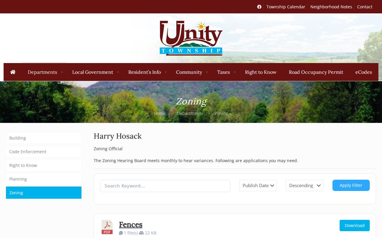
Use a named development to refine map and planning research, then return to the parcel and recorded-document keys for a defensible address trail.
Historic Unity Township Street Evidence
Older Unity Township street research often needs a different source family. The Pennsylvania Archives guide lists Westmoreland deeds from 1773 to 1897 and grantor-grantee indexes from 1773 to 1900. The Recorder's online coverage is reported from 1850 forward, but early work may require Book and Page, old Books or Plan Books, an office appointment, or archival guide material. The county's record history explains the difference: much of the Recorder's work was still processed by hand in January 2000, and the office now scans and quality-checks documents for online access.
Nearby directories and census can add dated clues. Greensburg Hempfield Area Library holds nearby directories on microfilm for 1909 through 1959, in print for 1913 and 1927 through 1992, and Latrobe or Greensburg volumes from 2000 forward. A reverse or criss-cross entry is useful only when the relevant volume actually indexes the address. The library also holds Westmoreland census microfilm, while the National Archives census record reaches 1950. The Westmoreland Historical Society offers separate paid mail or email research service when its archival collections cannot be consulted in person. For the historical shelf itself, the Unity Township city directory collections explain where those neighboring postal-city volumes fit and where they do not.
Note: Nearby postal-city directory volumes need separate parcel and address corroboration before they are tied to rural Unity Township.
Unity Township Street Maps: Free and Paid Access
County GIS makes an important distinction for a Unity Township street directory. Parcel geometry, aerial photography, and map context are free. Linked property and ownership cards reached through the GIS path require a subscription. The county subscriber information describes a monthly charge, a one-year automatically renewing agreement unless canceled under its terms, included minutes, and a charge for additional minutes. A result visible on the free map is therefore not the same thing as the linked card detail.
| Record category | What the county describes | Access |
|---|---|---|
| GIS and aerial context | Parcel geometry, map layers, and aerial viewing | Free public map route |
| Linked property card | Property-record detail connected from GIS | Paid subscription service |
| Linked ownership card | Ownership-card detail connected from GIS | Paid subscription service |
That boundary prevents a Unity Township street search from overstating what can be viewed without an account or contract.
Limits of a Unity Township Street Directory
A Unity Township street directory can organize public parcel, assessment, recorded-document, and defined municipal-file research. It cannot identify unlisted household members, private occupancy details, utility or delivery information, protected addresses, DMV personal-address data, or nonpublic complaint material. A property can be vacant, held by an entity or estate, or linked to a mailing string that differs from the physical location. Voter records have separate legal controls and the public individual-status tool is not a by-street browser.
When a record does not appear, contact the actual custodian or use the documented request channel. Repeating name or address searches cannot override a protected or unavailable record.