
Unity Township ZIP Code Coverage
Unity Township covers a dispersed area with several postal place names. The documented list below is a service-area starting point drawn from Township community references, public-safety addresses, municipal addresses, and USPS facility evidence. It does not claim that a carrier boundary follows the Township line, that every development belongs to one ZIP code, or that a ZIP designates a municipality. The practical use of this ZIP code directory is to identify an address-specific mail route first, then use Unity Township and parcel details for county research.
| ZIP Code | Documented Unity Township Connection | Post Office or Verification | Important Limit |
|---|---|---|---|
| 15650 | Township Municipal Building and Tax Collector use a Latrobe address | Latrobe Post Office | Postal locality is not a municipal boundary |
| 15624 | Crabtree community and Township fire-material address | Crabtree Post Office | Verify each delivery address |
| 15638 | Hostetter appears on the Township map | Hostetter Post Office | Named place does not define a Township boundary |
| 15676 | Pleasant Unity community and Township authority material | Pleasant Unity Post Office | Address-level USPS check remains necessary |
| 15693 | Whitney and Whitney-Hostetter community context | Nearby Whitney facility evidence | Individual address verification required |
| 15696 | Youngstown community and fire-service location | Youngstown Post Office | Postal service area can cross limits |
| 15601 | Dryridge and Mutual public-safety addresses use Greensburg | USPS address lookup | Not evidence an address is in the City of Greensburg |
| 15662 | Luxor is named on the Township neighborhood map | Luxor facility evidence | Confirm address through USPS |
Neither a ZIP-wide population total nor a complete resident count has been verified for Unity Township. No official single-source boundary table, ZIP realignment history, or ZIP-specific registration series was found. Treat the eight entries as documented postal associations, then verify any particular address through USPS before using a county record system.
USPS Fields for Unity Township ZIP Codes
The USPS ZIP Lookup has three distinct routes. ZIP Code by Address takes a full street address and uses City and State as address context. ZIP Code by City and State is useful for a broad postal-place question. Cities by ZIP Code starts with the ZIP. The tool returns mail-routing information only. USPS specifically says a result does not confirm that a person or company is at the address, so it cannot supply a resident result. Use it as the first check in a Unity Township ZIP code directory workflow, not the final proof.
| USPS route or field | What it does |
|---|---|
| ZIP Code by Address | Finds a ZIP from a delivery address using Street Address, City, and State. |
| Company | An optional field on the address route. |
| Apt, Suite, or Other | An optional delivery-detail field. |
| ZIP Code by City and State | Uses a city name and a State dropdown for a postal-place search. |
| Cities by ZIP Code | Returns postal city information from a ZIP entry. |
| Find | Runs the selected lookup and returns routing information. |
The Latrobe Post Office source shows one documented postal facility connected with Unity Township addresses.
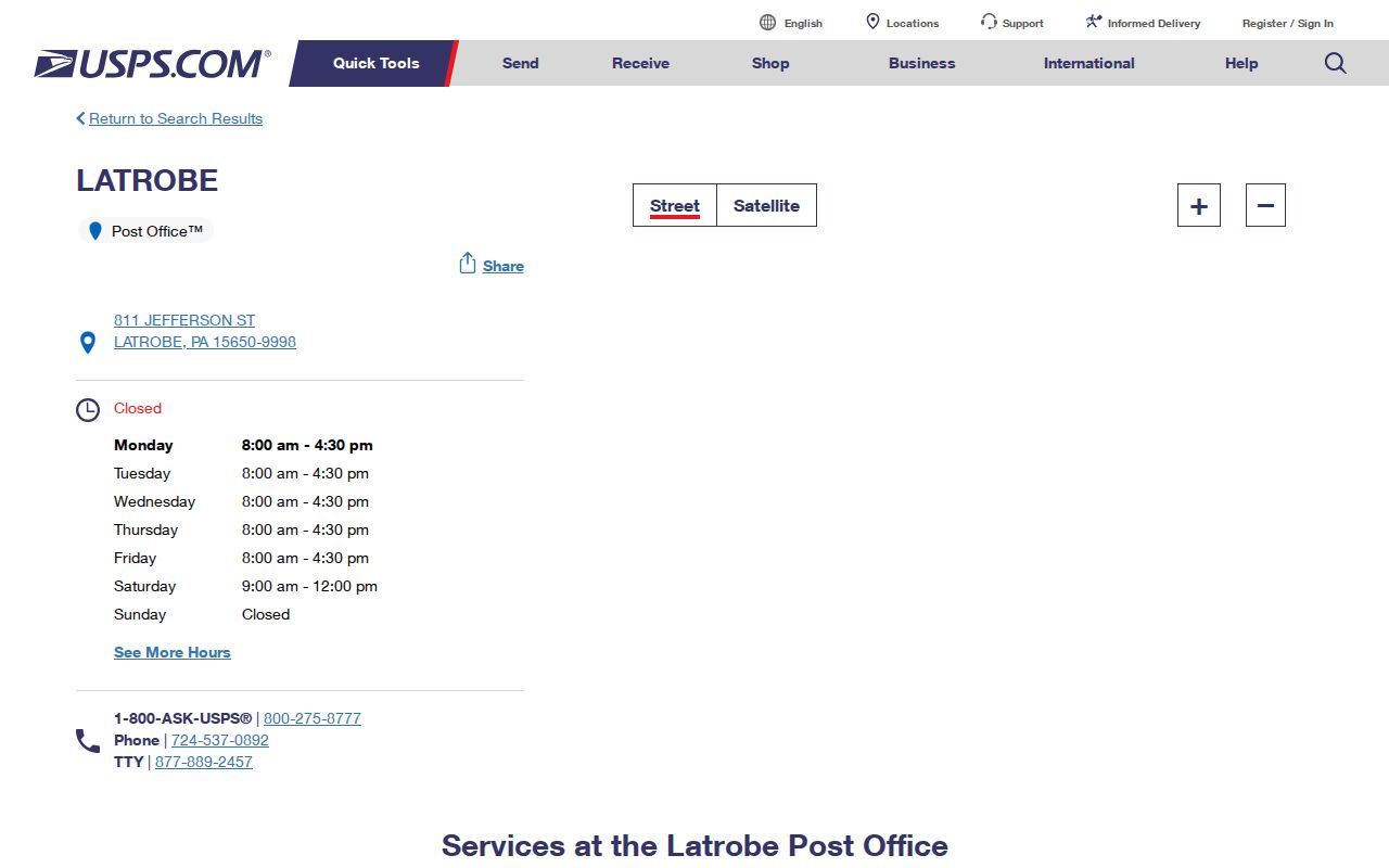
Latrobe 15650 appears on Township municipal and tax contacts, but the post-office label remains a mailing convention. Follow the complete delivery result for the address in hand.
Postal Places in the Unity Township ZIP Code Directory
Crabtree, Hostetter, Pleasant Unity, Youngstown, Whitney, and Luxor are meaningful local place names, but they do not create a one-to-one map of postal service, Township government, and county records. The official zoning and fire-service material uses several of those labels. This is why a Unity Township ZIP code directory needs a delivery-address check rather than a city-style assumption. The county record search should still use Unity Township as the municipality when that is the property’s jurisdiction.
The Crabtree Post Office source documents the facility associated with 15624.
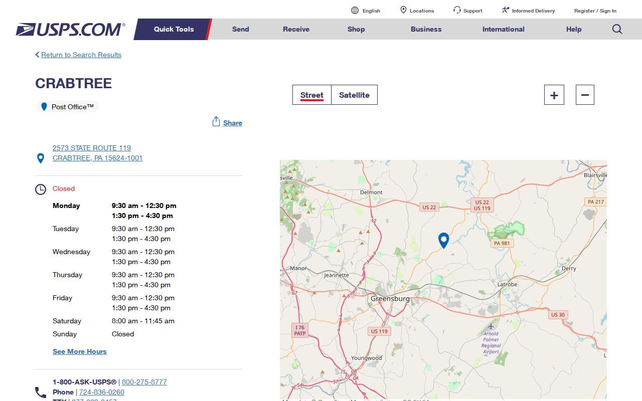
Crabtree’s named facility supports the local postal connection, while the exact route for a property still belongs in the USPS address result.
The Hostetter Post Office source provides the corresponding facility evidence for 15638.
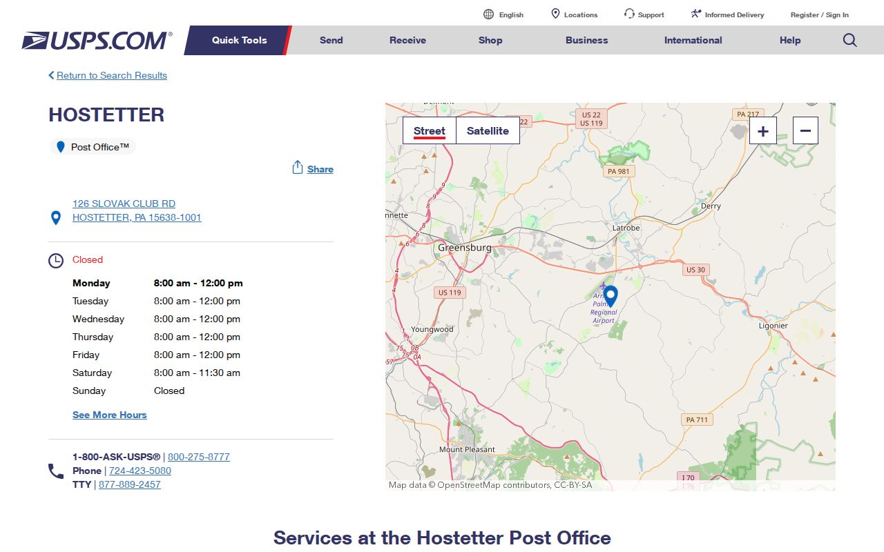
That evidence identifies a postal connection, not a complete list of streets, residents, or the limits of the carrier service area.
Search a Unity Township ZIP Code
A verified ZIP narrows the address format but does not become a county-record filter. Start with the address, then move from USPS to the parcel and municipality records that accept the keys Westmoreland actually publishes. The value of the workflow is its order: it prevents a postal place name from being mistaken for a city limit and prevents a tax-billing address from being mistaken for the physical site. Once a street has been identified, the address-specific process belongs on the Unity Township streets page.
- Enter the full delivery address in USPS ZIP Lookup and retain the postal result exactly as returned.
- Search the county property system by parcel number, owner name, or property location, not by ZIP code.
- Use County GIS with Address, Owner Name, Parcel Number, or UPI Code and select Unity Township as the municipality.
- Compare the postal result, GIS 911 address, and tax record before treating two strings as the same property.
For a change or readdressing question, begin with Unity Township and provide the map or parcel ID. The municipality coordinates with County 911, while USPS handles the delivery route. Each office answers a different part of the address question.
County ZIP Code Limits in Unity Township
Westmoreland’s Real Property Search does not publish a ZIP field. Its documented search fields are parcel number, owner name, and property location. County GIS searches by address, owner, parcel, or UPI, with a municipality selection. The Recorder’s Advanced/Legal route includes municipality but no documented ZIP filter. Pennsylvania’s individual voter-status tool is not a ZIP browser, and restricted voter-file products are not an open ZIP directory. County portals search parcels and record keys, not ZIP codes.
County GIS base layers and aerial imagery are free, while linked ownership and property cards require a paid subscription. That difference is useful when a Unity Township ZIP code result needs map context but not a paid property-card review. Neither access level adds a ZIP filter, so the verified address and municipality remain the search keys.
That limitation is useful rather than frustrating when records disagree. Search the Westmoreland Real Property Search by its actual fields, then use the County 911 and GIS guidance to compare the 911 address with the parcel. A ZIP code can guide the postal form of the query, but it cannot replace municipality, parcel number, UPI, or legal description.
Note: A county tax duplicate can show a bill-delivery route, so its mailing address should not be read as a physical-location confirmation.
ZIP Codes and Unity Township Limits
ZIP boundaries are mail-routing areas, while Unity Township limits are governmental boundaries. That distinction matters around Greensburg 15601. Dryridge and Mutual public-safety addresses can use a Greensburg postal label without placing those sites inside the City of Greensburg. The Township office uses Latrobe 15650, and other Township communities connect with Crabtree, Hostetter, Pleasant Unity, Youngstown, Whitney, and Luxor labels. A postal city name is not an annexation record or proof of municipal jurisdiction.
- ZIP code
- A USPS routing code for mail delivery, not a municipal-boundary identifier.
- ZIP+4
- A delivery-sequence refinement added to a base ZIP code. It does not create another government boundary.
- PO box ZIP
- A ZIP used for post-office box service, which can differ from the ZIP used for physical delivery.
- Unique ZIP
- A ZIP assigned to one organization or delivery use. No Unity Township unique ZIP was established by the research.
- Carrier route
- A postal delivery grouping that does not substitute for a parcel, UPI, legal description, or 911 address.
Unity Township Postal Address Quirks
One property can carry four meaningful strings: a 911 address for emergency and map location, a civic address for common physical use, a postal or mailing address for USPS delivery, and a tax-billing address for assessment. The legal description or UPI is the strongest bridge when those labels differ. The county’s address instructions direct an owner to begin a new or changed address with the municipality, then use County 911 processing and follow-up notices. The system is designed for separate functions, not for one label to answer every question.
A dated local example shows why exact strings need checking. Westmoreland election minutes recorded a 2026 correction of the Unity Township Dennison polling-place address from Lois Lane to Lois Road. That is a specific correction, not evidence of a Township-wide street renumbering. When a record returns no result, compare the parcel, municipality, old spelling, road type, and time period before assuming the property is absent.
Recheck Unity Township ZIP Codes
For an address near the Youngstown postal area, the next step remains the same: validate the delivery address, identify the county parcel or UPI, and keep the Township municipality filter in the record search. This approach respects the dispersed geography of a Township with many named settlements and avoids inventing ZIP statistics or boundary reassignments that the official sources do not document.
The Youngstown Post Office source is another verified facility reference in the ZIP code directory.
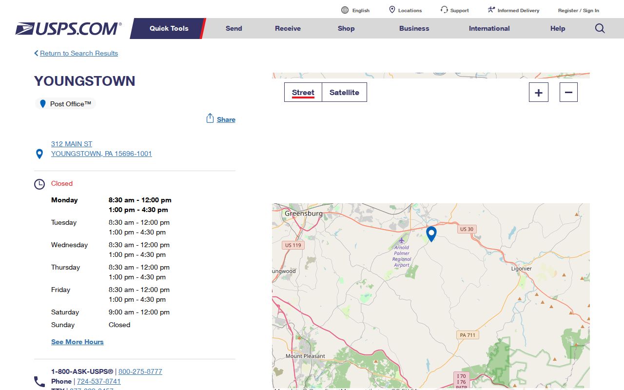
Use the image as a source cue for the postal facility, then rely on a live USPS return and county parcel records for the specific address.